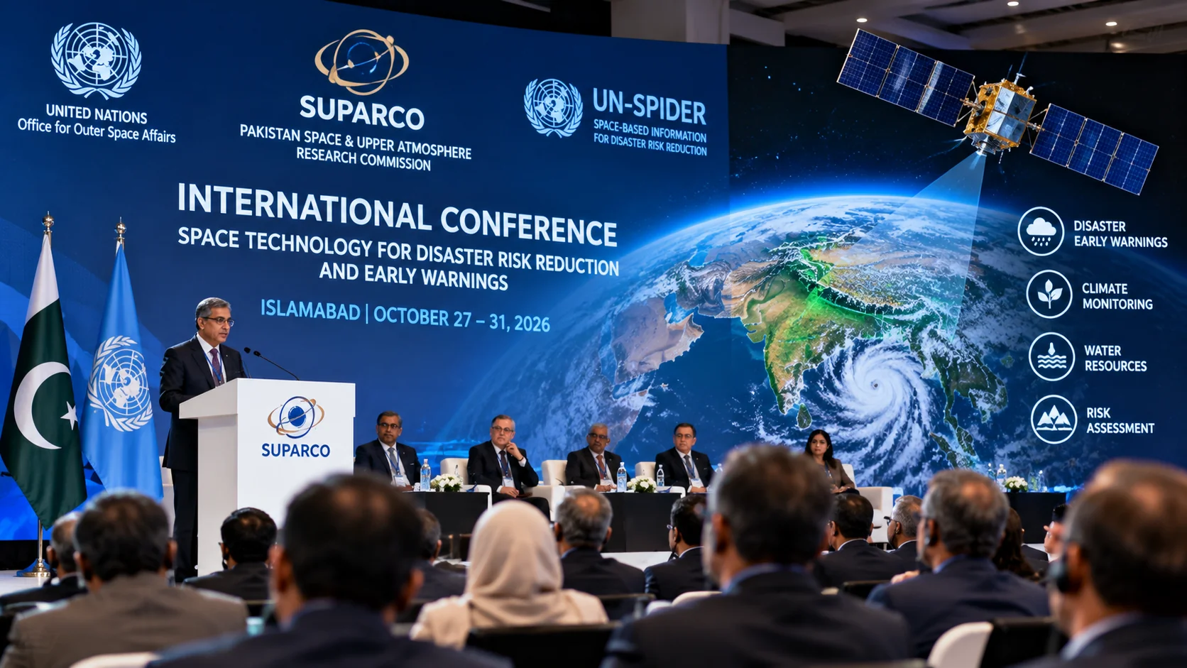
ISLAMABAD: Pakistan will host an international conference from October 27 to 31 on using satellite technology and geospatial data to improve disaster warnings, climate monitoring and emergency preparedness.
The five-day event, organised by the Pakistan Space and Upper Atmosphere Research Commission (SUPARCO) with United Nations partners, will take place in Islamabad.
Organisers expect 200 to 250 participants, including approximately 60 to 70 international delegates and 150 national participants.
The conference will focus on the United Nations’ Early Warnings for All initiative, which promotes systems that alert communities before hazardous events cause widespread damage.
Discussions will examine how satellite observations, remote sensing and geographic information systems can support flood forecasting, drought monitoring, heatwave risk assessment and disaster planning.
Participants will also consider the use of space-based information to monitor water resources, agriculture, forests and environmental change.
The conference is co-sponsored by the United Nations Office for Outer Space Affairs through its UN-SPIDER programme, the Asia-Pacific Space Cooperation Organisation and the Inter-Islamic Network on Space Sciences and Technology.
Its programme includes technical sessions, policy discussions and presentations on geospatial technology and artificial intelligence applications.
The event is scheduled to conclude on October 31 with a technical visit to the National Disaster Management Authority.
A related international training course on space-based disaster management is scheduled in Islamabad from November 2 to 6, according to the UN-SPIDER programme.